
Earth 3D Map-StreetView Camera
Foxpoi
Downloads
10,000,000+
Version
Latest
Click to download now, finish the installation quickly, and directly unlock the all-round experience
Screenshots
Click to download now, finish the installation quickly, and directly unlock the all-round experience
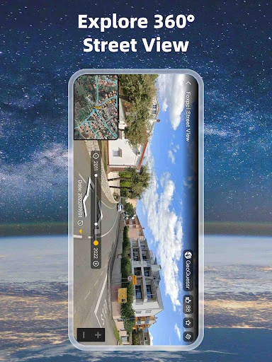
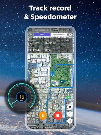
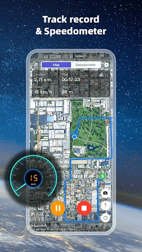
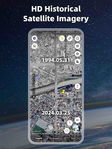
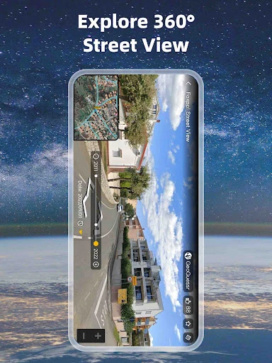
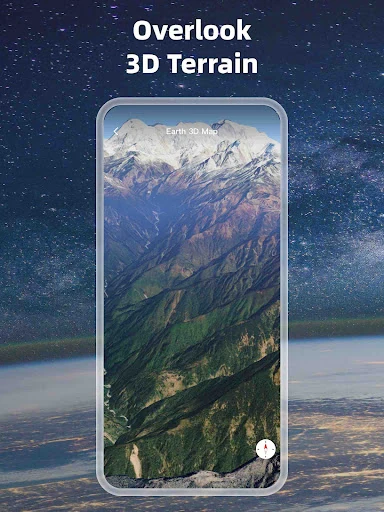
Earth 3D Map-StreetView Camera is a map and visual exploration app for viewing locations through satellite imagery, 3D terrain, building detail and Street View. It suits people who want more than turn-by-turn navigation, including travellers checking unfamiliar areas, outdoor planners, property researchers and users reviewing how a place has changed over time.
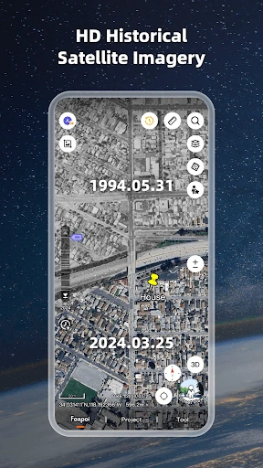
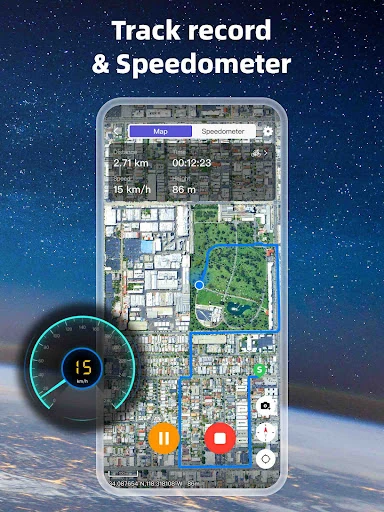
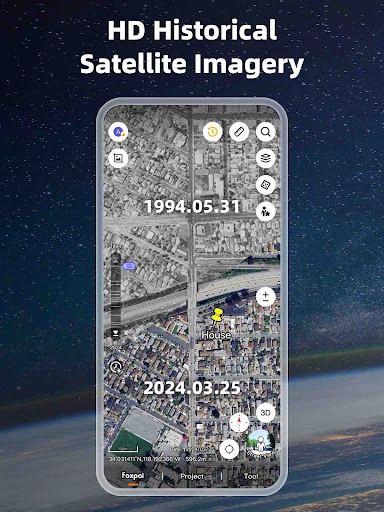
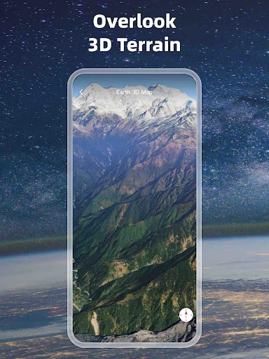
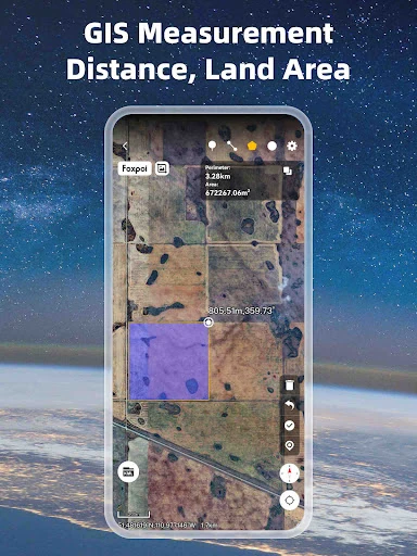
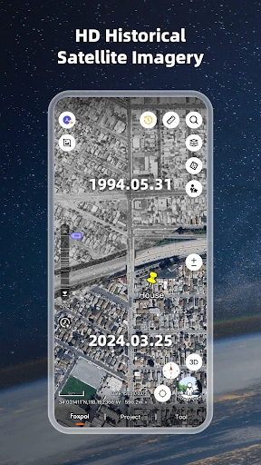
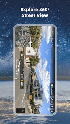
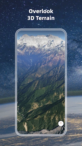
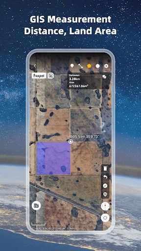
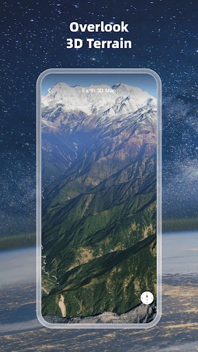
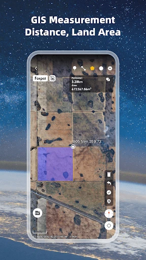
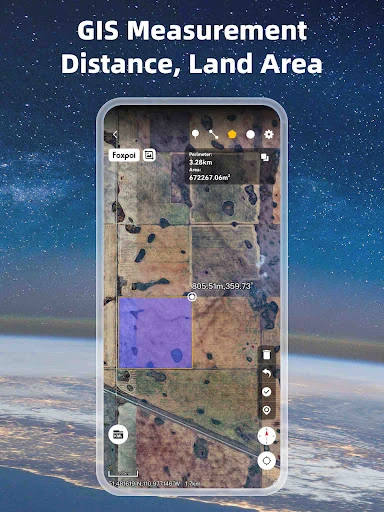
The app lets you tilt, rotate and zoom through 3D map views, with imagery designed to show terrain, forests and urban areas in greater detail than a flat map. Its historical Street View support can be useful when comparing older and newer views of a location. Distance and area measurement tools add a practical layer for route planning, land checks and basic site estimates.
Earth 3D Map-StreetView Camera also supports several file and coordinate formats used in mapping and surveying. KML, KMZ, GPX, SHP, DXF and DWG files can be viewed alongside map data, while UTM and MGRS coordinates are available for users working with more technical location references. That makes it a better fit for field review and project reference than a standard consumer map alone.
Developed by Foxpoi, the app is listed in Maps & Navigation and has more than 10,000,000 installs. Its rating is 4.31 from 35,459 reviews, indicating established use across a broad audience. Choose it if 3D visualisation, Street View history, measurements or GIS file viewing matter to you; if you only need simple directions, many of its mapping tools may be more than necessary.